climate-data
Climate Atlas
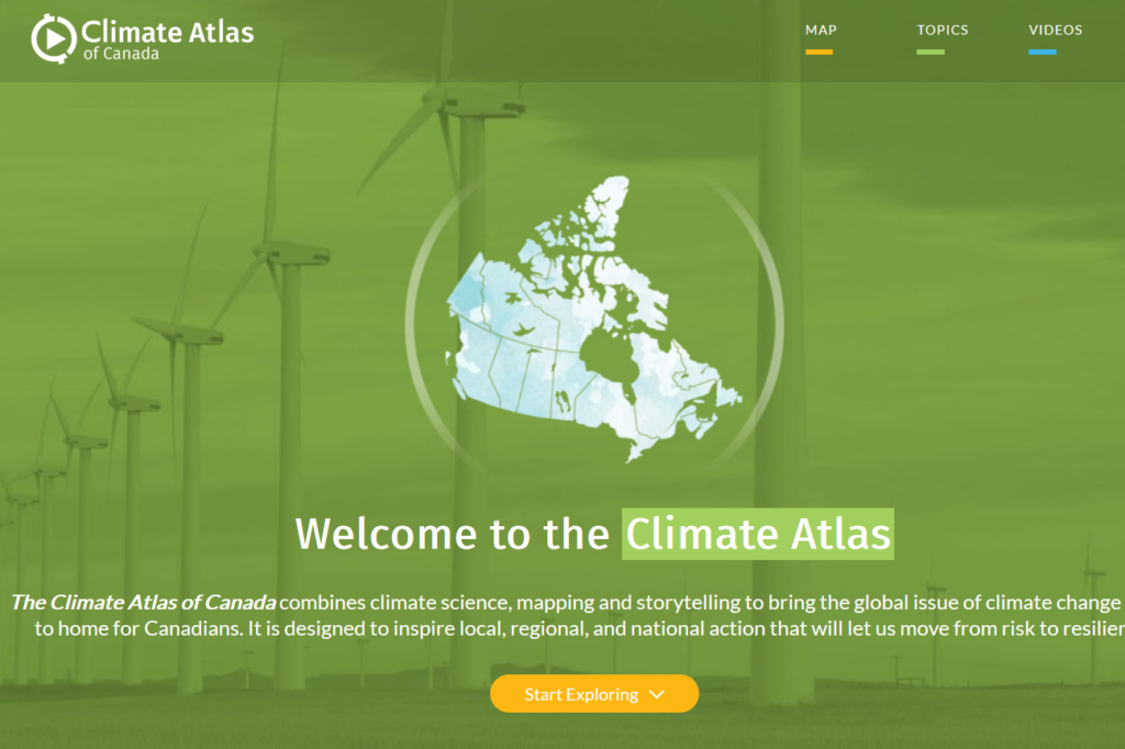
The Climate Atlas of Canada combines climate science, mapping and storytelling to bring the global issue of climate change closer to home for Canadians. It is designed to inspire local, regional, and national action that will let us move from risk to resilience. The Climate Atlas of Canada is an interactive tool for citizens, researchers,…
Read MoreClimate Change Hazards Information Portal (CCHIP)
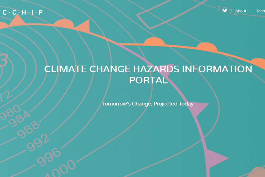
CCHIP is a web-based tool that uses data from 40 of the most recent Global Climate Models and many other sources to provide defensible, actionable conclusions about changes across a whole array of climate and severe weather-related conditions. By tailoring this information for specific locations and sectors, CCHIP helps planners, engineers, and decision-makers account for…
Read MoreCCCS: Canadian Centre for Climate Services
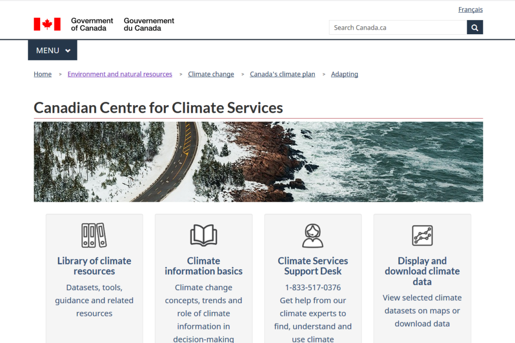
The CCCS is an initiative of the Government of Canada and provides access to all things climate, from climate basics through to data and resources that support adaptation decision-making. The new CCCS website is designed to facilitate access to climate data and tools through features such as the Library of Climate Resources, interactive climate data…
Read MoreOCDP: Ontario Climate Data Portal
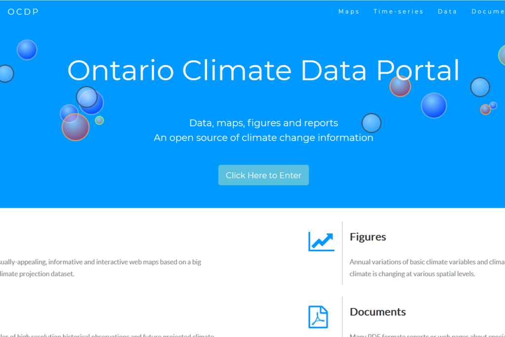
The Ontario Climate Data Portal (OCDP) was recently launched to ensure technical or non-technical end-users (e.g. municipalities, private sector) have easy and intuitive access to the latest robust climate data over the Province of Ontario, Canada. The OCDP incorporates the high-resolution (10 km x 10 km) climate projections developed by the LAMPS at the York…
Read MoreCCDP: Ontario Climate Change Data Portal
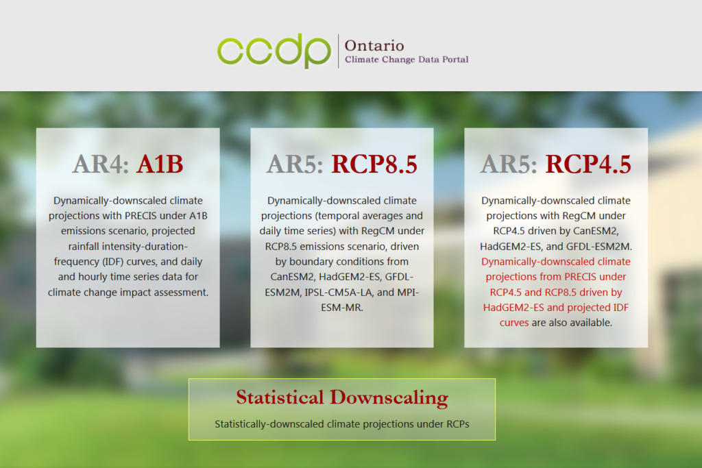
While the OCDP hosts the higher resolution projections based on a huge ensemble to better address the uncertainties, the Ontario Climate Change Data Portal (Ontario CCDP) is still in commission to distribute its unique dynamically downscaled projections over Ontario. Ontario CCDP incorporates the high-resolution (25 km x 25 km) climate projections developed by the IEESC…
Read MoreNational Climate Data and Information Archive
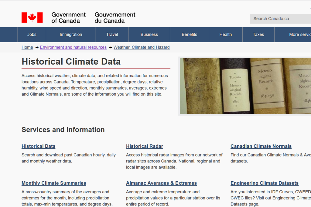
The National Climate Data and Information Archive, hosted by Environment Canada, provides practitioners with historical climate data that can be used to determine a baseline and be used in planning, design and implementation activities. The services provided include historical climate data (hourly, daily or monthly for stations across Canada), historical radar images from 31 stations…
Read MoreGreat Lakes Observing System
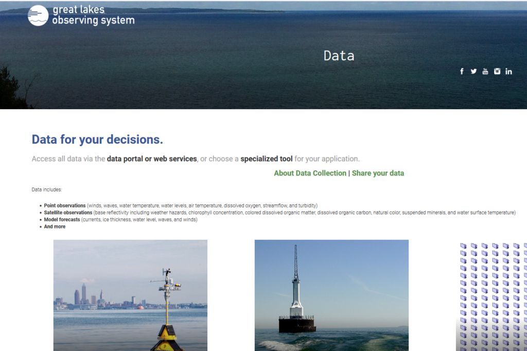
Data includes point observations (winds, waves, water temperature, water levels, air temperature, dissolved oxygen, streamflow, and turbidity), satellite observations (base reflectivity including weather hazards, chlorophyll concentration, colored dissolved organic matter, dissolved organic carbon, natural color, suspended minerals, and water surface temperature), model forecasts (currents, ice thickness, water level, waves, and winds) and more. visit this…
Read MoreGreat Lakes Integrated Sciences & Assessments (GLISA)
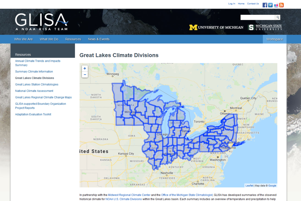
The Great Lakes Integrated Science and Assessments (GLISA) website hosts a collection of climate data resources from different institutions that provide international, federal, regional and local climate data on a variety of spatial and temporal resolutions. The data is derived from several GCM and RCM models, downscaled projections and gridded observations. Practitioners are able to…
Read MoreGreat Lakes Water Level Dashboard
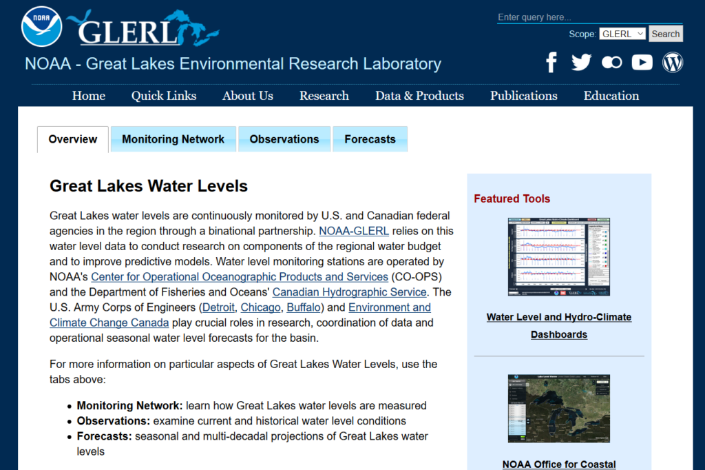
The National Oceanic and Atmospheric Administration (NOAA) has developed the Great Lakes Water Level Dashboard and the Great Lakes Hydro-Climate Dashboard for use by practitioners in monitoring lake levels and forecasts for the Great Lakes. The Water Level Dashboard provides users with the ability to view lake levels and forecasts in a variety of timescales.…
Read MoreNOAA National Climatic Data Centre
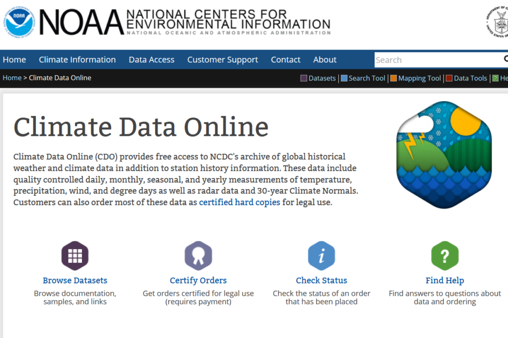
Climate Data Online (CDO) provides free access to the National Climatic Data Centre’s archive of historical weather and climate data in addition to station history information. The dataset and mapping tools provide practitioners with documentation and information, as well as options for viewing data by regions. Developed by the National Oceanic and Atmospheric Administration (NOAA),…
Read More